New Years Day Handicap.
Our traditional New Year’s Day Handicap run starts and finishes by the Lord Nelson Public House on the edge of Wantage. The first runner sets off at 11am.
Each and every harrier has the opportunity to compete on a level footing. Each runner is given a handicap time based on a recent 5k or 10k time. The slower runners start first, the speedier runners start later (some much later)
Handicap Course
Distance about 4 miles. Follow the track and then road through West Lockinge to the T-junction in Lockinge. Turn right. Follow the road up the hill and left in front of the monument. After the church the road sweeps down to the left then bears right, Immediately after this right turn as the road starts to climb take the left fork up a private road. When this meets the lane at the top carry straight ahead and follow the road past Ardington Sports club into the village of Ardington. In Ardington turn left. Follow that road to a T-junction. However, at this point follow the track straight ahead. After a few hundred yards this rejoins the outbound route. Turn right and retrace your steps to the finish.
In 2022 New Year’s Day fell on a Saturday. Instead of a separate handicap race the runners participated in the local Grove Fields parkrun after which a set of simulated handicap results were produced.
See the link here here for course map (on MapMyRun) or here (on Strava).
Here is a link to the results since 2018.
Previous Victors (actual times): 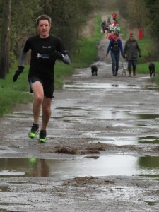

Cross Country Handicap.
2026 – Thursday 9th July. 7pm Sparsholt Firs.
The handicap runs every year to provide each and every senior & masters Harrier with the opportunity to compete on a level footing, and even win some silverware!
Each runner is given a handicap time which is based on a recent performance. The slower runners start first, the speedier runners start later (some much later). The first runner will be set off at 7pm.
The race starts at Sparsholt Firs, by the B4001 Lambourn Road, and takes an undulating 5.5 mile route around the Ridgeway. Note that the start is on a small road off the B4001 and the finish is on the Ridgeway Path. It is not quite a full loop and is run in an anti-clockwise direction. Please familiarize yourself with the route as there will only be some very limited marking of the course on the day. A map of the course can be seen here and a GPX file containing the route can be downloaded here. (Note: You will need an appropriate viewer to see the “gpx” file.)
Details of the Start and Finish Positions
These details were added when the event was run as a virtual competition in 2020 but have been left here as they apply to the ‘real’ event too..
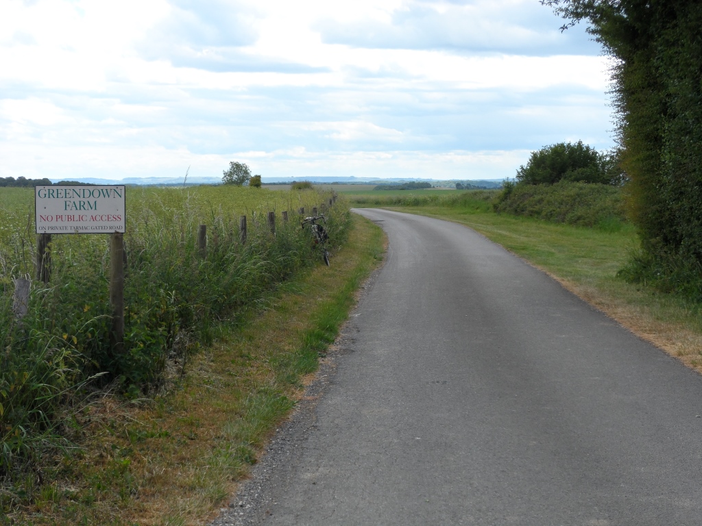
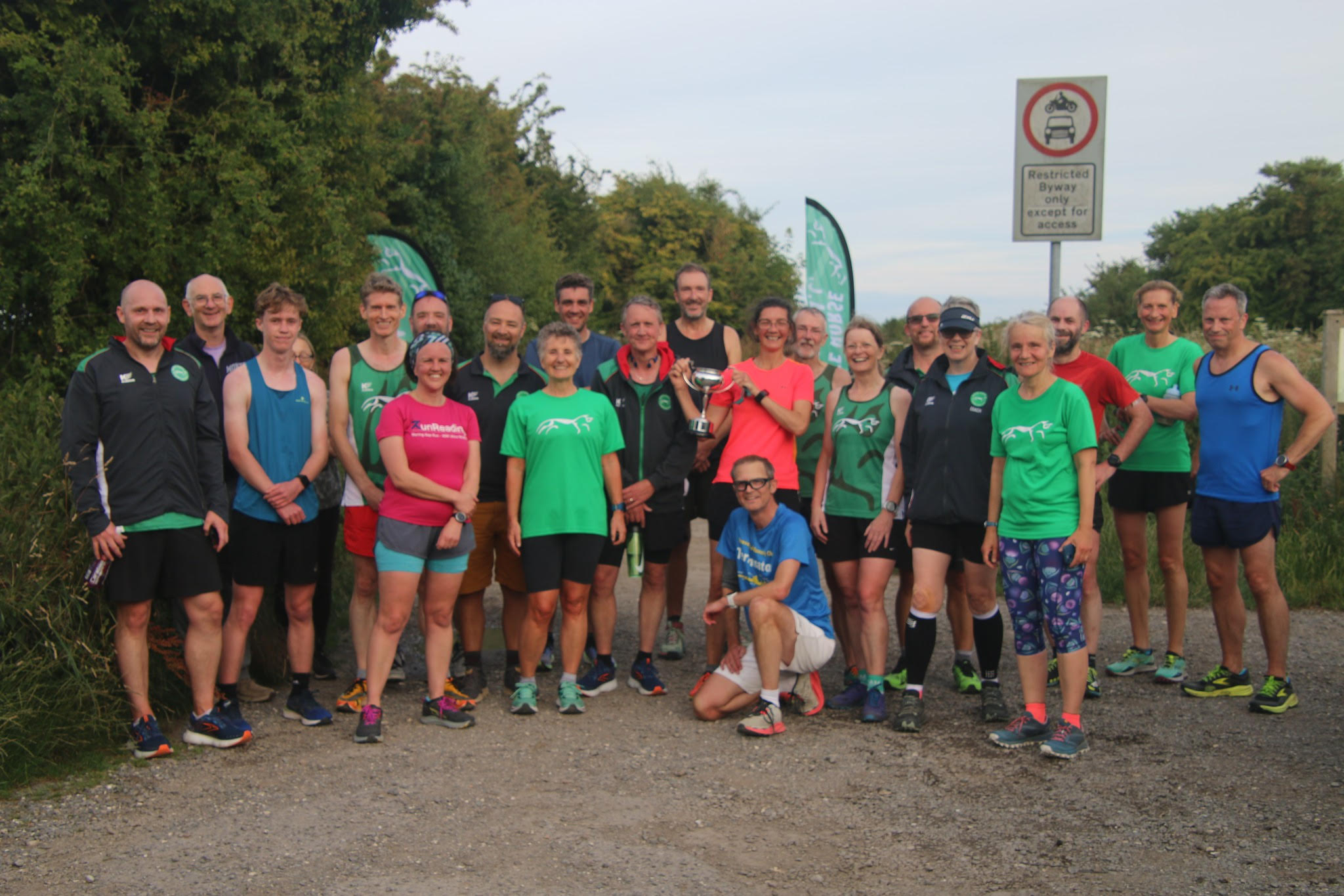
- The start is on the small road off the B4001. Start by the sign attached to the fence as shown in the picture below.
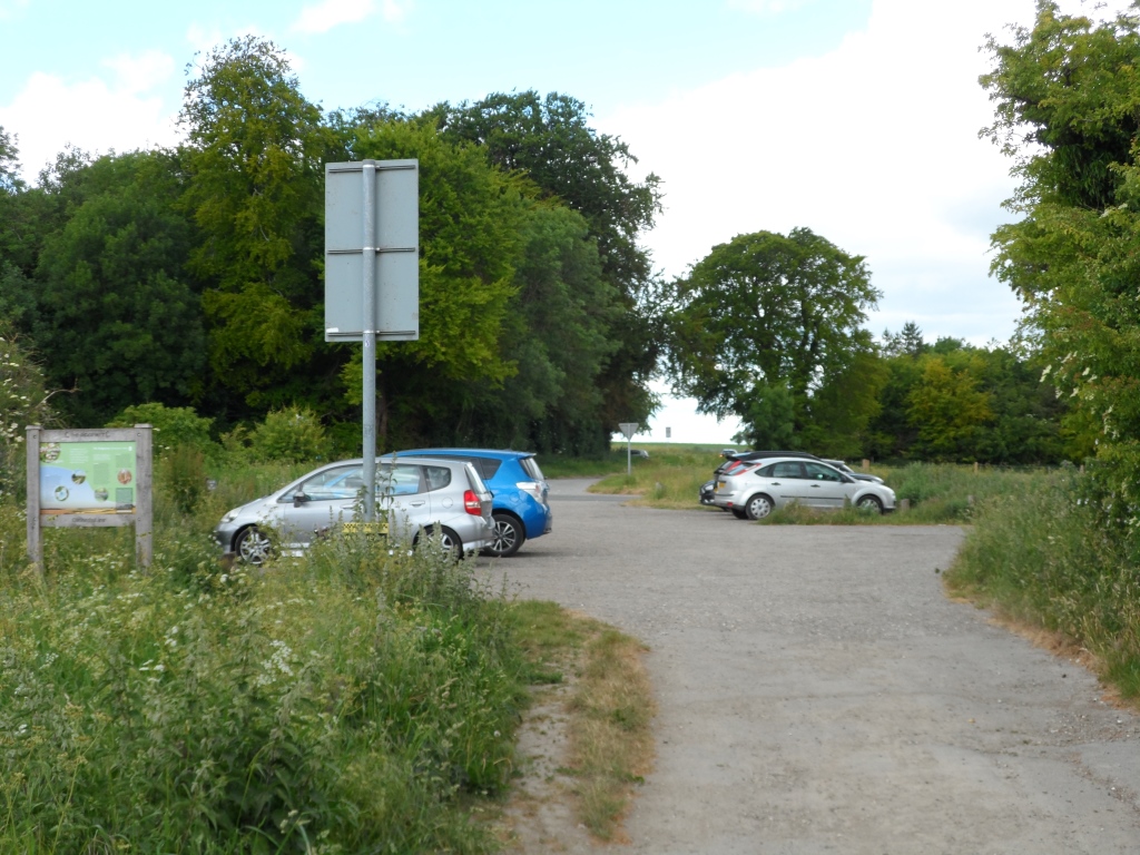
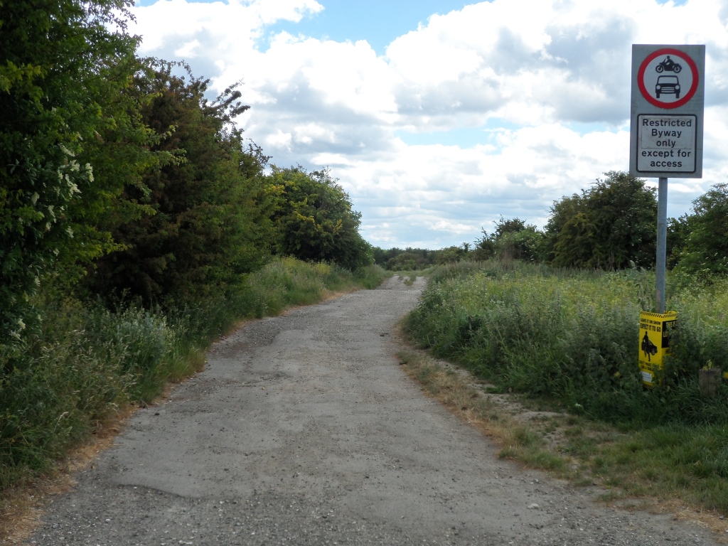
- The finish is at the Restricted Byway sign at point you reach the car park – again as shown in the pictures below.